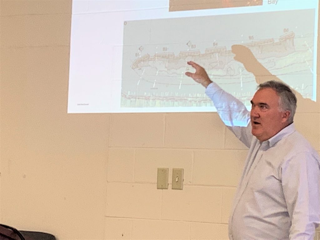
WEST WILDWOOD – West Wildwood residents had an opportunity to learn about a living shoreline project being designed for the north side of the Wildwood Canal.
A previous administration has already invested about $80,000 into the project, titled the 26th Street Wave Attenuation and Flood Reduction Project.
“We are picking up where a previous administration left off,” Mayor Matt Ksiazek said.
Ksiazek and the other West Wildwood commissioners, April 15, welcomed Coastal Engineer Doug Gaffney and Permitting Specialist Steve Morey, from Mott MacDonald, who picked up the project and are looking to improve on it, they said.
Gaffney said the project of a living shoreline, which includes gabions – or wire cages filled with rocks – would be aided by breakwaters, which are essentially rocks piled in and extending out of the water that “attenuate,” or reduce the force of waves. The breakwaters will lower the height of the waves coming in and thus reduce the energy of the waves coming into the canal.
“This is part of a long-term effort at resiliency,” Gaffney said.
Gaffney said there has been a long history of erosion on the marshes near the canal, with the loss of about 2.5 feet per year. Wave action coming toward West Wildwood is “over-topping” the marshes.
“There is a very strong correlation between wave power and erosion, and the wave power correlates to the wave height,” Gaffney said.
As a result, low-lying areas in West Wildwood are at high risk of flooding. He said these barrier marshes will help protect borough infrastructure by reducing the wave energy. Gaffney said the breakwaters reduce the power of waves by their height squared.
The living shoreline, he said, would be behind the breakwaters. An illustration showed breakwaters being installed at the mouth of the canal with enough room for boats to maneuver.
Gaffney said, in response to a resident’s question, that the breakwaters would be clearly visible to boaters navigating the canal. The project requires some coordination with the U.S. Coast Guard.
“You will see the top of the breakwater and high tide, and at low tide you will see even more of it,” he said.
When asked about how long the breakwater would last, Gaffney said it was designed of stone and was meant to be stable and stand up to coastal storms. He said after 25 or 30 years, there might be some stones that have moved around.
The permit was applied for in November 2016, and Remington & Vernick is attempting to get approval for a final design. The borough has two grant applications in the works – a Building Resilient Infrastructure and Communities (BRIC) grant and a National Fish and Wildlife Foundation (NFWF) grant.
Gaffney said once the project becomes known, it could generate more interest and funding. Morey said the sources of funding change annually and the borough’s consultant has a good grasp of funding available.
Morey said the project has essentially two elements. One is the storm resiliency aspect and the other is an ecological portion. He said the coastal ecology portion becomes feasible, however, if they demonstrate the positive benefits of the resiliency portion of the project. Gaffney said the project, while protecting borough infrastructure, would not keep streets from getting wet.
There is also a dredging component to the project, which includes dredging approximately 7,000 cubic yards of material.
The estimated cost of the project is $2.6 million, which Commissioner Joe Segrest said is in the current capital plan. Gaffney said the biggest risk is that the $2.6 million would not be enough to complete the project, but it should be shovel ready by the end of 2024.
Contact the author, Christopher South, at csouth@cmcherald.com or 609-886-8600, ext. 128.


