WASHINGTON – Speaking on a Sept. 4 CNN broadcast, Federal Emergency Management Agency (FEMA) Director Deanne Criswell said the agency’s flood maps have failed to inform a large number of American households that they are in danger of significant flooding.
“FEMA maps, right now, are really focused on riverine and coastal flooding,” Criswell said. She went on to say that the maps don’t consider areas prone to flooding from excessive rain events.
Criswell was reacting to a visit she had just made to Jackson, Mississippi where a rain event led to flooding as the Pearl River crested well above flood stage. The flooding exacerbated problems with the freshwater distribution system, causing a major crisis in the city.
According to a transcript of the CNN State of the Union broadcast, Criswell spoke of the difficulties in developing better predictive models for areas likely prone to major rain events. She said FEMA also has little data on the ability of local infrastructures to deal with stormwater from major rain events.
“We need better predictive models” so local communities can develop mitigation strategies, Criswell said.
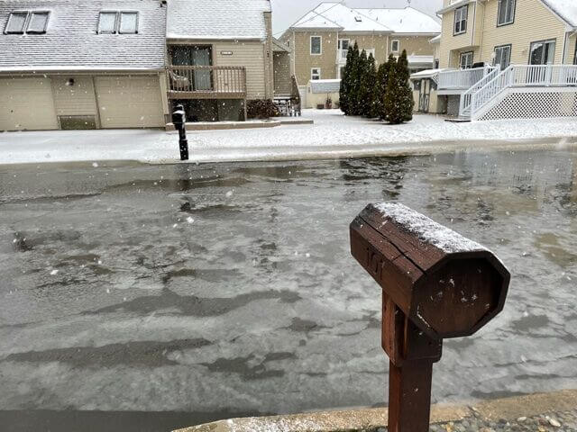
Recent flooding in St. Louis, Dallas and even Death Valley has shown that many areas are at risk with no indication of that risk on FEMA maps.
According to one study, conducted by the science and technology nonprofit First Street Foundation, as many as 1.4 million properties could be at-risk and in need of flood insurance. Yet hundreds of thousands of property owners are leaving the National Flood Insurance Program in reaction to FEMA’s 2021 introduction of a new methodology for determining premiums.
First Street has now partnered with NASA to enhance climate risk modeling and effectively communicate risk in specific areas. An interactive model on the foundation’s website allows individuals to explore exposure to flood, fire and excessive heat threats at the level of distinct communities. One can even enter a specific address and see its risk factors.
“We are going to continue to work with all of our local jurisdictions to help them better identify what their needs are and help them create better predictive models because we have to start thinking about what the threats are going to be in the future as a result of climate change,” Criswell said.


