OCEAN CITY – As the city works to clear its silted back bay lagoons, the question of what to do with the material dredged from those lagoons has proven vexing, at best.
The city has spent millions in recent years to keep the lagoons clear for boats, but city officials say the toughest part of that ongoing work is finding places to put the muddy material dredged out of the waterways, often referred to as dredge spoils.
Some goes to a spoils site off Roosevelt Boulevard, known as Site 83. In fact, so much material gets hauled there that the city built a road through the marsh to speed things up.
Some ended up in Wildwood for use as fill on a former landfill site, while another similar deal to ship more of it to Pleasantville fell through last year.
Now the city is looking at a new plan to use some of the material to rebuild one of the marshy islands between the barrier island and the mainland.
The idea would be to use the dredged material to restore one of the islands to its historic size.
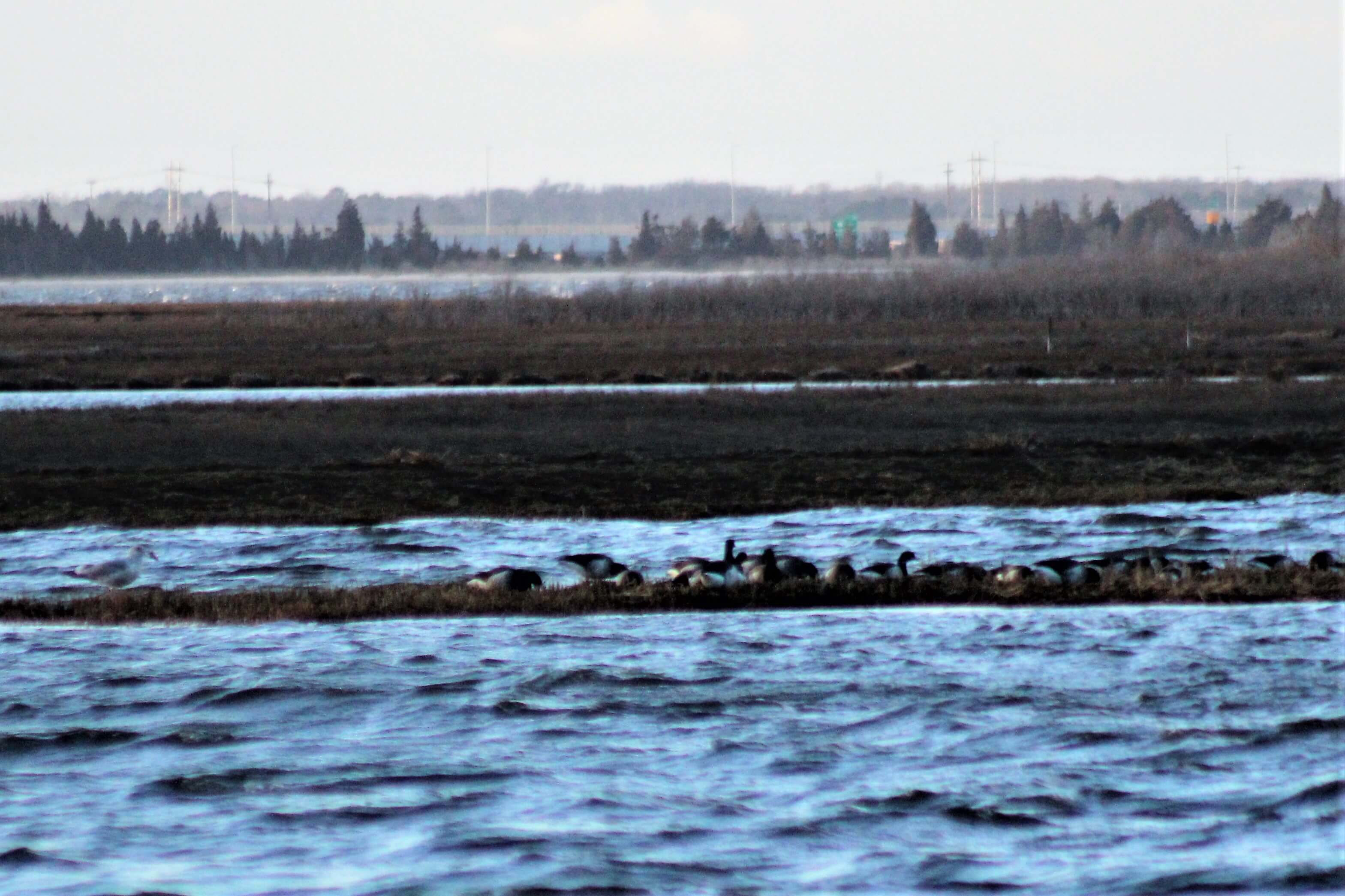
Shooting Island, one of the largest back bay islands, can be seen from the Tennessee Avenue boat ramp. The city has explored spraying a thin layer of material over the marsh, similar to a project undertaken behind Avalon and Stone Harbor, but this would be a different approach.
According to Ocean City spokesman Doug Bergen, the project would involve creating a retaining wall of some sort to keep the material in place, to return Shooting Island to the way it appeared on a map from 1979.
City Council took the first step at its meeting March 22, approving an agreement with the state Department of Environmental Protection. The island falls under the jurisdiction of that department’s Division of Fish and Wildlife.
“The city is pursuing parallel paths for the beneficial reuse of dredged materials,” City Administrator James Mallon told City Council. “This resolution put the city in a position to begin to rebuild wetlands in the bay, specifically Shooting Island, the side of which has been reduced by erosion.”
According to Bergen, the unanimous vote approving the resolution is only the first step toward getting state permission for the idea.
There is a lot more to do before any spoils end up used for the proposed project.
“This just let us put the applications in to see if it’s even possible,” Bergen said after the meeting. “It will be a long process.”
ACT Engineers, the firm working on the city’s dredge project, could go out to bid in late spring or early summer to create a retaining wall known as a sill defining the edges of the project, Bergen said. If all goes well, the site could be used in 2019 for a federal project to dredge the Intracoastal Waterway. That’s not city work, he said, but is important to any boaters using the back bay.
A public meeting on the city’s dredging plans for 2018 and beyond is set for 10 a.m. April 28 at the Ocean City Tabernacle, 550 Wesley Ave., Bergen said, where those interested can get more details on the city’s dredging plans.
The expanse between Cape May County’s barrier island communities is part of the Cape May County Wetland Wildlife Management Area, a 17,700-acre stretch of bays, marsh, inlets, creeks, and islands.
In some areas, the tidal waters flow through the marshlands, while in others, like in Pecks’ Bay and the Great Egg Harbor Bay in the north end of Ocean City, there are marshy islands surrounded by bay water.
The Route 52 Causeway linking Ocean City and Somers Point runs in part along some of these islands, while others, like Cowpens Island and Shooting Island, are home to a variety of birds but rarely visited by human beings.
The volunteers at the Ocean City Historical Museum say Shooting Island most likely got its name from duck hunters. Neighbors say they still hear the report of shotguns on winter mornings coming from the island during duck season.
Occasionally a kayaker will set out from the bayside beach at nearby Tennessee Avenue next to the city’s boat ramp to paddle around the island to glimpse nesting osprey and wading birds like herons and egrets on the island, and there is a man-made osprey nest platform on the island.
Marsh grass covers most of the island, although there are also some small trees and shrubs. An abandoned dredge spoils disposal site can also be seen on the island.
“In partnership with the Division of Fish and Wildlife, the city will work to reestablish healthy wetlands on this island,” Mallon continued. “This type of program has been incredibly successful in other parts of the country.”
He said he and Bergen visited a project site on the Chesapeake Bay, along with the engineering firm working to keep the lagoons clear. After the meeting, Bergen said the tour was inspiring, and that it appeared that birds and other wildlife were using the restored habitat in that project.
Poplar Island was once inhabited, but most of it eroded away over the years. Bergen said the recently restored areas were barren and muddy, but the areas that had been restored and replanted were lush with growth.
“We were there when the monarch butterflies were migrating. It was really neat to see,” Bergen said.
Mallon said the proposed project could have other benefits, in addition to finding a new way to dispose of dredged material and rebuilding habitat.
“The rebuilding of the island and healthy wetlands on the island are not only important ecological features but also important for storms,” Mallon said at the meeting.
Many naturalists say healthy marshes help reduce flooding and can mean less damage from floods by dissipating the energy or waves during severe storms.
To contact Bill Barlow, email bbarlow@cmcherald.com.


