COURT HOUSE — Local college students have a chance to really know where they are in the world, thanks to a visiting professor, who specializes in Geographic Information Systems (GIS).
On April 27, the Board of Directors for Atlantic Cape Community College (ACCC) met at the school’s Cape May County campus on Court House-South Dennis Road.
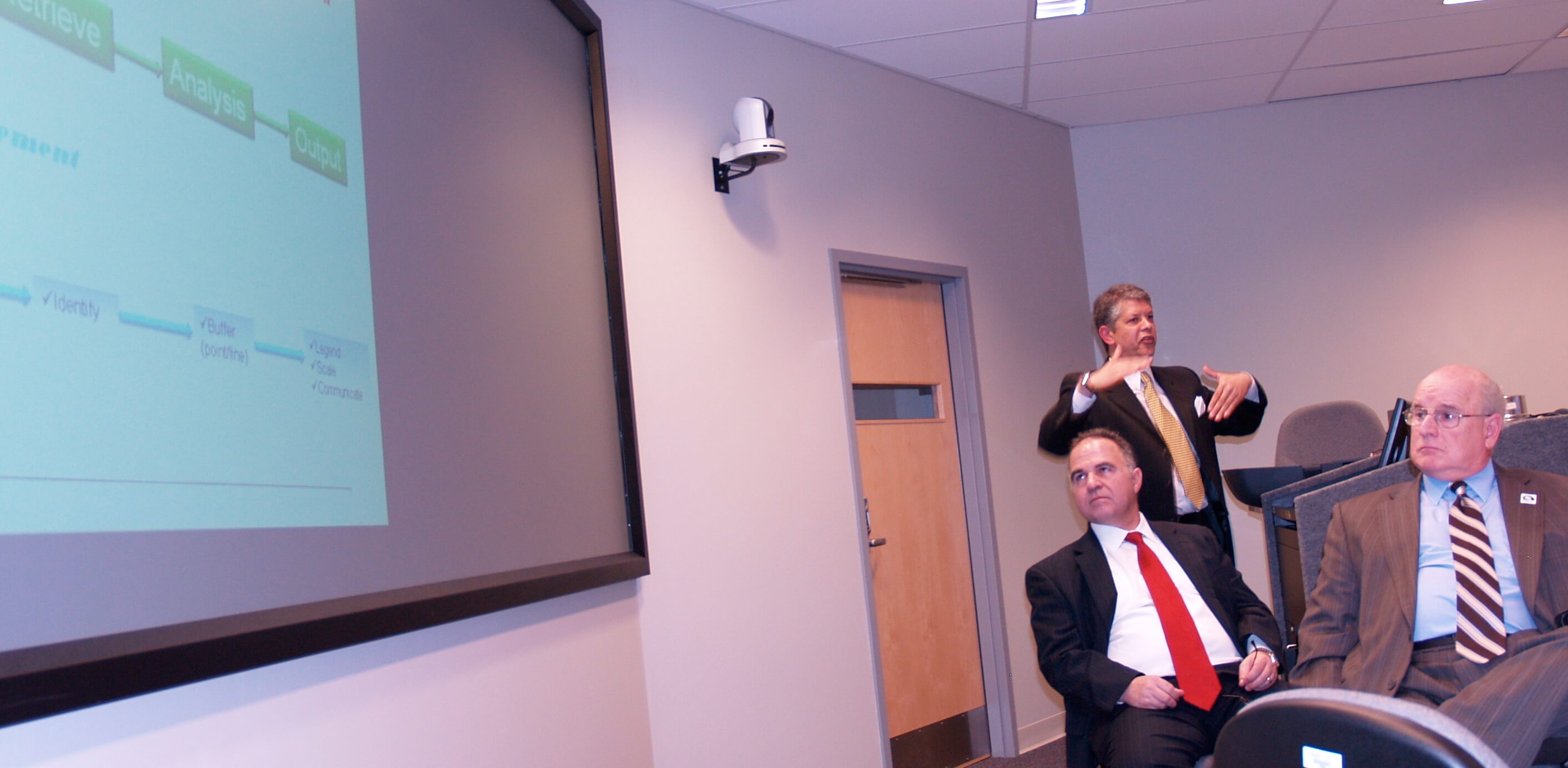
As part of his “president’s report” to the board, ACCC President Dr. Peter Mora asked Dr. Laramie Potts, the college’s Beacon by the Sea visiting professor, to speak on his work with GIS students this year.
According to the ACCC, Web site, GIS is a computer system that integrates hardware, software, data capturing, managing, analysis, and displaying of geographically referenced information. It allows us to view, understand, question, interpret, and visualize data in many ways that reveal relationships, patterns, and trends in the form of maps, globes, reports, and charts.
Potts told the board that his students have come a long way in his short tenure at ACCC.
Students are progressing through the introductory classes, which give them an overview of GIS and its applications. They learn how maps are used to collect, analyze, display and evaluate facts and ideas for solving problems.
Potts said the students are learning that GIS relies on accurate data input for the maps and systems to work properly. “If you put junk in, you get junk out,” he said.
Potts explained one of the students’ projects that involved mapping buildings on the college’s Mays Landing campus using aerial photographs, GPS and other data. For practical application, Potts said that project was going to be used by campus security to improve safety for students.
Why teach GIS at ACCC?
Geospatial Technology is among the top three fastest-growing career fields in the U.S. and it is expected to grow 15 percent over the next decade, according to ACCC. These technologies are used in many careers in fields that use spatial data, including: Homeland Security, agriculture, fisheries, forestry, wildlife and water, environmental management, urban planning, economic development and emergency management.
ACCC has a $1.25 million grant to develop training programs in GIS mapping, according to a Feb. 21 Press of Atlantic City story. The school is starting a 300-hour, four-course Geospatial Certification on July 19.
Potts, an assistant professor with the N.J. Institute of Technology’s department of Engineering Technology, has authored and co-authored more than 23 refereed journal articles and more than 30 conference presentations on geophysical modeling, geospatial data analysis, and GIS applications.
Impressed by his work, Mora and the board granted Potts an honorary associate in arts degree in recognition of his admirable service and lasting contributions to the education and welfare of ACCC students.
“Dr. Potts exemplifies the values that Atlantic Cape Community College seeks to instill in it graduates,” the resolution stated.


