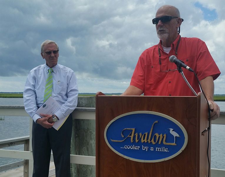
AVALON – Avalon and Longport have teamed up to study barrier island flooding in another effort at resiliency in the face of rising seas. The partnership includes the Atlantic-Cape Coastal Coalition which will be covering 50 percent of the expected $31,000 cost with the municipalities splitting the remainder.
Avalon Mayor Martin Pagliughi said he was excited to see a public/private partnership forming to address “issues barrier islands will see more and more in the future.” Longport Mayor Nicholas Russo expressed the hope that the data from the study would help his town react better to patterns of flooding and “help save property and lives.”
Dr. Stewart Farrell, director of Stockton University’s Coastal Research Center, will lead the effort to place sensors in areas of both communities to measure where flooding happens, when, under what conditions, and how long it lasts.
Using $300 Hobo Sensors, about the size of a fat cigar, positioned in areas of known nuisance flooding, Farrell and his team will be able to record data every 15 minutes. The sensors will record “whatever is going on” including the depth and duration of any flooding.
Farrell says the data will show flooding patterns and changes over time. Pagliughi hopes to use that data for both a warning system for residents and as the basis for grant applications for flood mitigation projects.
“The face of the barrier islands is going to change,” Pagliughi said. He spoke of resiliency efforts that have resulted in higher home elevations and steel poles to carry power lines. With rising seas, Pagliughi and Russo are preparing for an ongoing struggle, one that can only be helped by solid data and information.
Farrell said a recent study showed that sea levels in southern New Jersey could rise as much as 12 to 18 inches by 2050. The political debates over the cause of sea level rise are not the focus of attention by Pagliughi and Russo, the undisputed fact of sea level rise is.
Both mayors relayed stories of what has already happened in their communities.
“When you go to the beginning of Longport,” Russo said, “you find yourself at 11th Street. He explained that the sea had long ago reclaimed the first 10 streets of the community. He added that the desire to develop beach front land had led to the removal of natural dunes which increased the community’s vulnerability. Pagliughi added Avalon’s story with six streets reclaimed by the sea near Townsend’s Inlet. “The Hurricane of 1944 and the 1962 storm claimed four of those streets,” he said.
Farrell said the sensors should be in place by mid-August in time for the heart of the Atlantic storm season. Atlantic-Cape Coastal Coalition hopes that the study and its data will prove valuable enough that the model can be adopted by other coastal communities.
Pagliughi wants to see the data eventually integrated with the National Weather Service tidal gauges up and down the coast.
“If we’re going to stay on the barrier islands than these are the things we are going to have to look at,” Pagliughi said.
To contact Vince Conti, email vconti@cmcherald.com.


