Thanks to our weather sponsor: www.RainbowSouthJersey.com disaster restoration service
For Storm Cancellations, Closings & Delays: Click Here
Get important news and weather developments anytime, anywhere, with Herald mobile alerts. Sign up now.
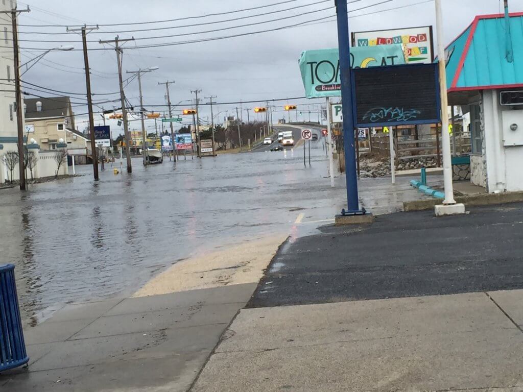
COURT HOUSE – National Weather Service has upgraded the coastal flood watch to a coastal flood warning.
The coastal flood warning is in effect until 1 p.m. Feb. 9.
Widespread minor flooding occurred this evening and it will linger overnight. Moderate coastal flooding is anticipated for Tuesday morning with localized major flooding possible. Generally, water levels Tuesday morning should be higher than those of Monday morning.
The time of high tide along the New Jersey oceanfront is around 7:30 to 8:30 a.m. Tuesday morning. High tide on the back bays and on Delaware Bay occurs later than the high tide along the oceanfront.
Wave heights are forecast to be 8 to 14 feet on the near-shore waters off New Jersey.
Roadway flooding will persist overnight. Widespread roadway flooding and some damage to vulnerable structures is expected Tuesday morning. Wave action will result in significant beach erosion.
This coastal flood warning means that moderate or major tidal flooding is expected. Be prepared for rising water levels and take appropriate action to protect life and property.
Do not drive your vehicle through flood waters. The water may be deeper than you think it is. You will be putting yourself in danger and your vehicle may be damaged, leading to costly repairs.
National Weather Service has also upgraded the winter storm watch to a winter storm warning which remains in effect from midnight Feb. 9 until 6 a.m. Feb. 10.
There is a potential for 4 to 8 inches of snow, according to National Weather Service.
National Weather Service’s latest snowfall forecast map (pictured) shows potential snow accumulations for our area.
Periods of snow is expected tonight and continue through Tuesday night. The snow has the potential to fall at a moderate to heavy rate at times especially later Tuesday and Tuesday night.
Accumulating snow will affect travel tonight through Tuesday night, including the rush hour commutes. The road conditions will likely deteriorate during times of heavier snowfall rates. Remember, bridges and other elevated surfaces tend to become slippery first.
Visibility will be one half mile or less at times.
Temperatures will drop into the upper 20s later tonight, then rising into the 30s for a time Tuesday.
A winter storm warning means significant amounts of snow are expected. This will make travel very hazardous at times. Use caution while driving.
North Cape May – Hello all my Liberal friends out there in Spout off land! I hope you all saw the 2 time President Donald Trump is Time magazines "Person of the year"! and he adorns the cover. No, NOT Joe…


