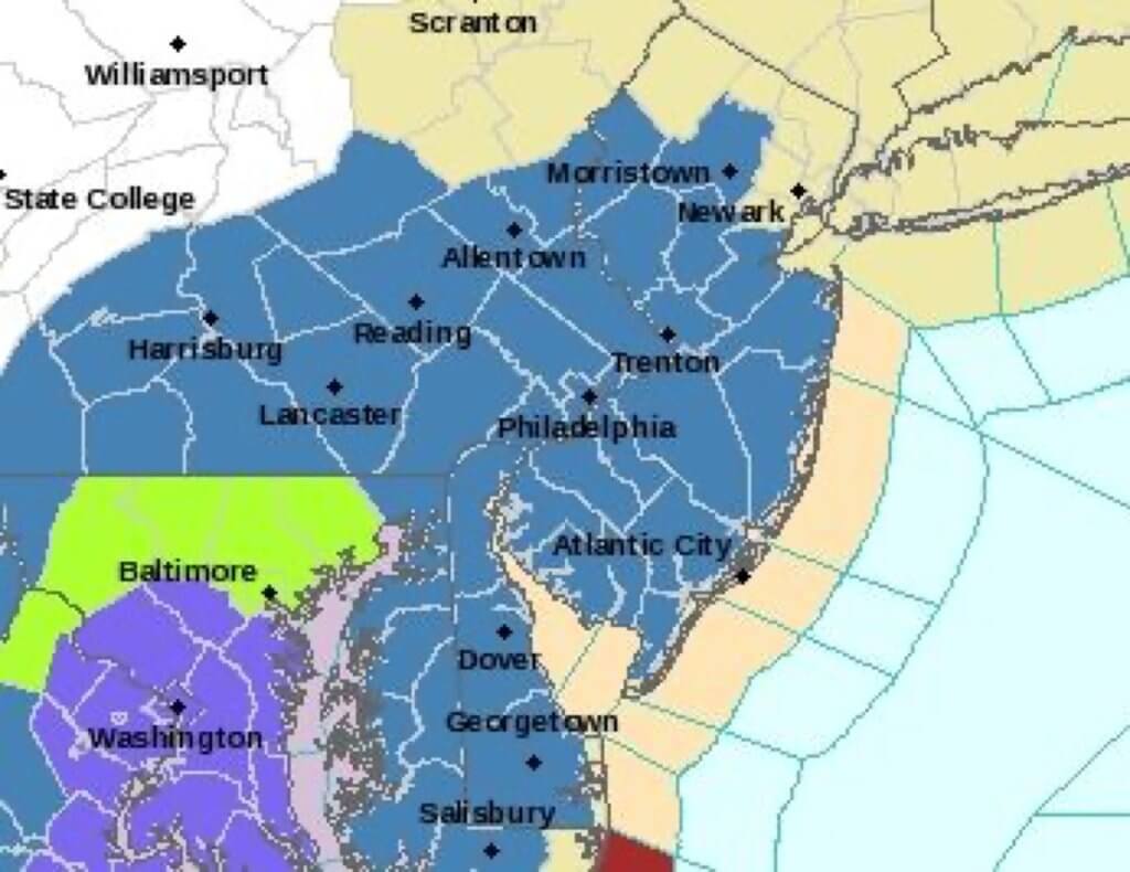
COURT HOUSE – National Weather Service has issued a winter storm watch for Cape May County.
The winter storm watch will be in effect from 7 p.m. Jan. 22 until 10 a.m. Jan. 24.
National Weather Service’s snowfall forecast map (shown left) shows potential snow accumulations of 1 to 3 inches for Cape May County. Expect changes in the snowfall maps as new information comes in.
Snow is expected to begin Friday evening, primarily after the evening commute, then continue heavy at times into Sunday morning.
Gusty winds are a concern, which could lead to blowing and drifting snow, as well as beach erosion. The strongest gusts will be along the coast with wind speeds of 50 to 60 mph.
Be prepared for difficult traveling conditions beginning Friday evening. Power outages are possible due to strong winds, as well as property damage due to coastal flooding, along with beach erosion.
A winter storm watch means there is a potential for significant snow, sleet or ice accumulations that may impact travel.
National Weather Service has also issued a coastal flood watch, which will be in effect from 4 a.m. Jan. 23 to noon Jan. 24.
With the strong onshore flow, and a full moon on Saturday, major flooding is anticipated along the coasts of New Jersey and Delaware and moderate to major flooding along Delaware Bay. Back bay flooding is also likely in these areas.
A coastal flood watch means that conditions are favorable for the development of moderate or major tidal flooding.
Be prepared to begin taking appropriate action to protect life and property.
Share your weather observations and photos by emailing newswatch@cmcherald.com, on the Herald’s Facebook page, https://www.facebook.com/heraldnewspapers/ or on Twitter, https://twitter.com/HeraldNews.
For complete weather/tides: www.CapeMayCountyHerald.com/news/weather
Wildwood Crest – Several of Donald Trump’s Cabinet picks have created quite a bit of controversy over the last few weeks. But surprisingly, his pick to become the next director of the FBI hasn’t experienced as much…


