AVALON- The dreaded “V” zone on FEMA flood elevation maps has shown up on the bay side of the borough but two experts are questioning why since waves in the bay have much less power than those in the ocean.
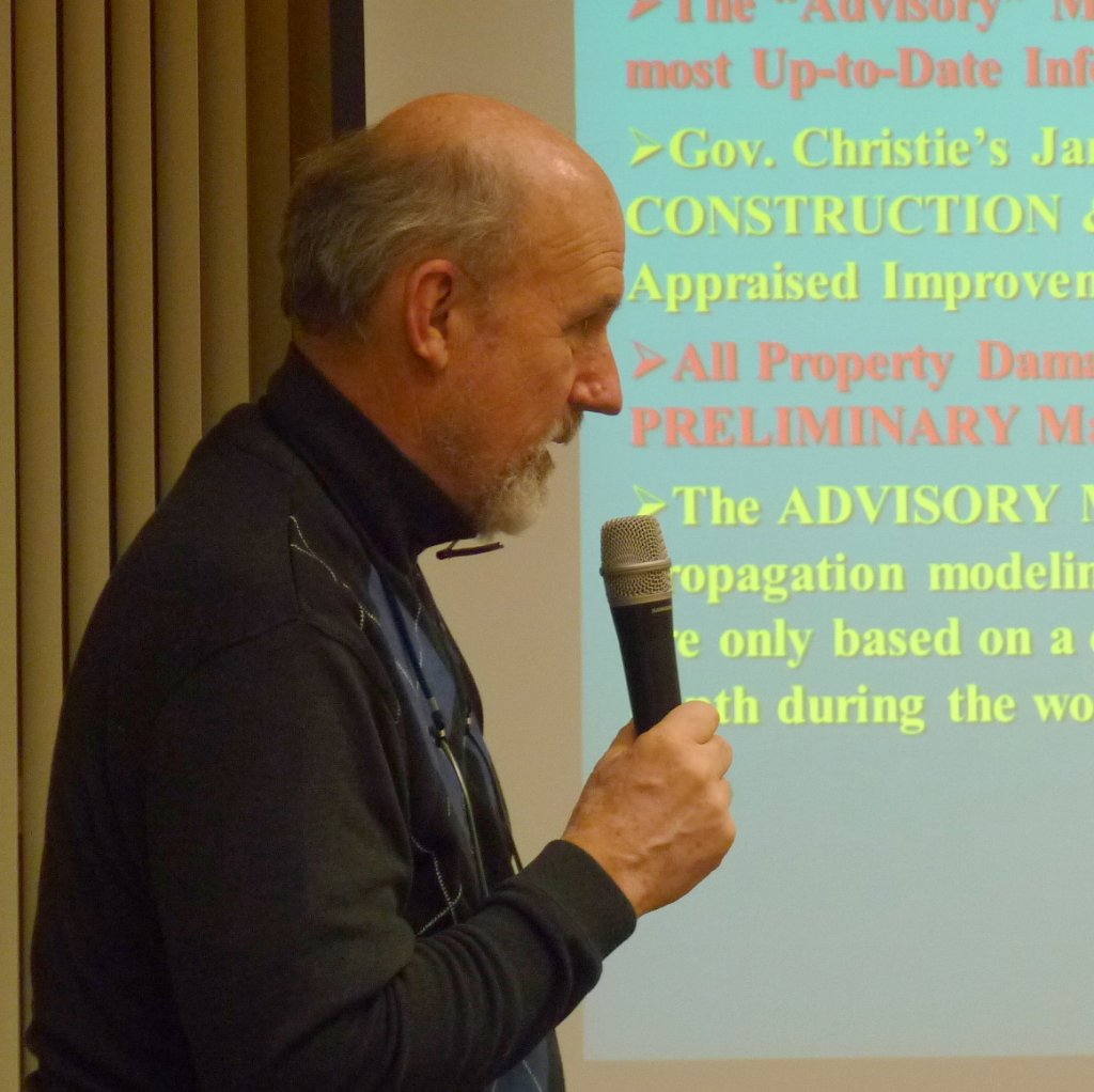
At a Feb. 27 Borough Council meeting, Borough Engineer Tom Thornton, of Hatch Mott MacDonald updated council on the “V” zone as it was established on FEMA Advisory Base Flood Elevation (ABFE) maps and how it relates to still water elevation.
He said there was a lack of precision on the ABFE maps.
Thornton said FEMA has told the borough at multiple public meetings that the “V” zones on maps don’t include a wave analysis.
The “V” zone represents areas of inundation where damage from waves may occur, he said.
FEMA has done its modeling based on tidal/storm surge analysis and come up with a still water elevation at various areas in Avalon which does not account for waves, said Thornton.
“They have set a 3-foot wave as the size of a wave which would cause damage,” said Thornton.
He said the idea there would be 3-foot waves in the back bay had been a hot topic.
“A lot of people don’t think that exists,” said Thornton.
FEMA will issue preliminary maps with wave modeling in the future. Some towns are disagreeing with FEMA’s ABFE maps.
He said Avalon would argue that there should be no “V” zones on the back bay. Thornton said FEMA has been receptive to feedback from the borough.
Councilman Charles Covington said there was no formal appeal process for municipalities that disagree with the ABFE maps.
Thornton said the next maps to be issued from FEMA, would be in July. He said there was opportunity to “nip it in the bud” by influencing FEMA before new maps are issued.
Council Vice President David Ellenberg expressed concerns with the cost of flood insurance increasing 20 percent each year for the next five years. Thornton said it will make a big difference in which flood zone a home is located.
Stewart C. Farrell, executive director, Coastal Research Center, Richard Stockton College said flood insurance rates would increase for primary residences in 2014 with businesses and secondary homes, and rentals affected this year. Farrell said the increase would be no more than 25 percent of the premium per year until it reaches actuarial premium base.
Farrell is the expert beach towns and state and federal governments go to for advice on beach erosion and protection.
“Basically, the feds are pulled out completely of subsidizing flood insurance at all,” he said. “That was the purpose of the Biggert Waters Act.”
FEMA defines a non-primary residence as a building that will not be lived in by the insured or the insured’s spouse for at least 80 percent of 365 days following the policy effective date.
Thornton said appeals could be made to FEMA after the preliminary maps are issued. Farrell said municipalities cannot criticize maps that are half done.
“The wave modeling has not been done,” he said. “The base flood elevations in these maps are done.”
Farrell said the preliminary maps will change drastically from the current ABFE maps, according to FEMA. He said FEMA has requested municipalities provide them with bulkhead elevations on the bay side of barrier islands.
Farrell said waves will break over an object at 5-foot elevation while most bulkheads are 7 to 8 feet in height.
He said sand dunes in Northern Avalon which dated back to late Roman times, were at an elevation of 12 feet. Farrell said in that area, the “V” zone should go away.
“Using only the water depth during the storm surge essentially ignores all the obstacles to overland transport,” he said. “The bulkhead, the vegetation, the rows of houses, a significant barrier to propagation of waves, the landscaping, anything is a barrier to overland migration.”
He said Avalon was the only location in New Jersey with a barrier island in front of an older set of dunes that are above sea level. Farrell said North Wildwood had a small dune behind it.
Farrell said he told FEMA that their 3-foot wave used to define the limit of the “V” zone was originally based on the impact of ocean waves on foundations on the oceanfront.
“There’s a huge difference in energy in the ocean wave versus the bay wave…”he said.
A 3-foot wave hitting your foundation on the bay side would be equivalent to kid on a bicycle running into a wall of your house versus a wave on the ocean side being equivalent to someone driving an SUV into your wall, said Farrell.
“The bay side waves just don’t have the horsepower, so why are they worried about them at 3-foot heights?” he asked.
He questioned the bay side “V” zone stretching all the way to Dune Drive.
West Cape May – Blaming DEI for the California wildfires is classic Trumper behavior – making an assertion with no facts or real analysis with more than a whiff of racism. But I guess they would rather do that than…


