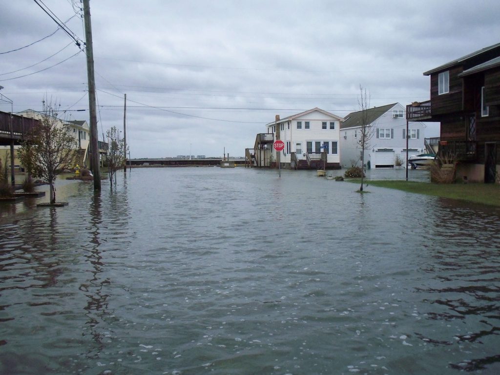
COURT HOUSE – Preliminary work maps that depict coastal flood hazard data for Cape May County were released Aug. 27. General information is available through the FEMA website: www.region2coastal.com/bestdata.
Click here for an overview of the flood map for Cape May County.
Click here to search flooding information for a specific address on an interactive mapping tool.
The preliminary work maps are an interim product created in the process of developing preliminary Flood Insurance Rate Maps (FIRMs) and will replace the Advisory Base Flood Elevation (ABFE) information that was made available to certain impacted communities as the best available data for rebuilding and recovery efforts in the aftermath of Hurricane Sandy.
Preliminary work maps have also been released for Atlantic, Cumberland, Essex, Hudson, Monmouth, Middlesex, Salem and Ocean Counties, and for New York City. Maps for additional New Jersey communities will be forthcoming.
Cape May – Governor Murphy says he doesn't know anything about the drones and doesn't know what they are doing but he does know that they are not dangerous. Does anyone feel better now?


